International Journal of Marine Science 2015, Vol.5, No.48: 1-7
2
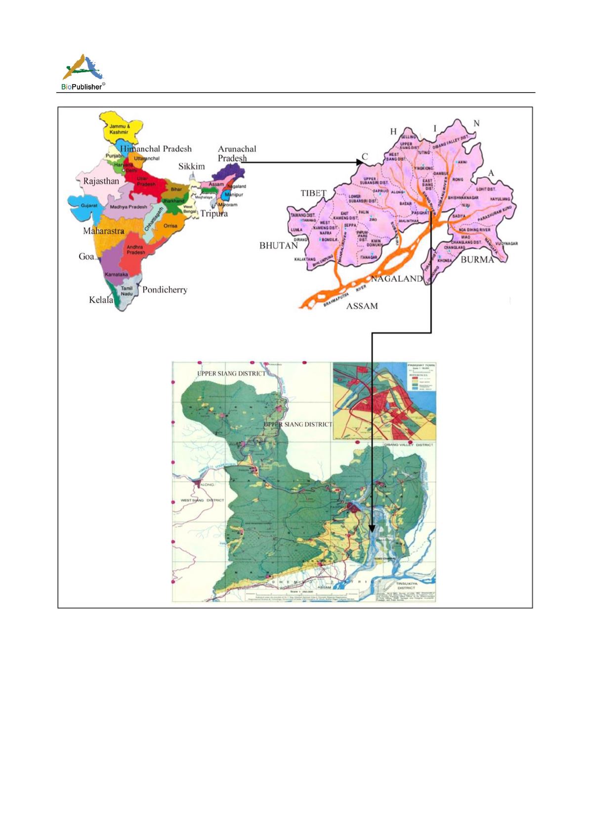
Figure 1 Map of (A) India indicating Arunachal Pradesh, (B) Arunachal Pradesh indicating to East Siang District, (C) In East Siang
district highlighting River Siang (Study Area) of Arunachal Pradesh
were recorded with the help of Garmin made GPS-60.
Habitat features were quantified using transects within
each stream reach. Variables measured at each point of
transect were water depth and width of the river and
current speed. In each study point of the stream, in a
reach measuring 100 m in length (the longitudinal
path following the fastest cross sectional water
velocities) micro-habitats were identified, classified,
(such as, Fall, Cascade, Riffles, Pools and Run, sheet),
and various measurements taken (Armantrout, 1990; Kar
2007, 2013; Arunachalam,1999; Das and Kar, 2011).
The study area covers a major part of East Siang
District of Arunachal Pradesh latitudes
28
0
02
/
43.16
//
-
28
0
10
/
28.87
//
N and longitudes
95
0
13
/
05.30
//
- 95
0
21
/
39.00
//
E
and altitude
501- 1681 Ft.;
which is included in the


