International Journal of Marine Science 2015, Vol.5, No.48: 1-7
5
in species compositions and also an increase in
species diversity along the stream gradient. Further,
spatial segregation of fishes was said to be influenced
by environmental and physical characteristics of the
stream like width, depth, current velocity and
substrate type (Toham and Tuegels, 1998); as well as,
certain biotic characteristics like canopy cover and the
occurrence of the in-stream detritus.
However, riffle and pool communities were linked by
a continuous gradient; at a very local scale and species
may use both these habitats at different parts of their
life cycles, as well as, during different seasons
(Schlosser, 1982). Nevertheless, some of the juvenile
fish may prefer riffles to pool habitats; as they provide
the required kind of food and flow patterns necessary
at a particular stage of their growth; whereas, the same
species may prefer pool habitats at later parts of their
life cycles. Further, there had been some observations
on size-related differences in habitat use by many
species where smaller individuals of some species
occur in faster-flowing waters than their larger
conspecifics (Toham and Tuegels, 1997). Information
about the habit and habitat of these fish species in the
River Siang was scarce; and, were based mainly on
the present study. Data about the reproductive period,
sites of breeding, feeding,
etc
., was also scanty. The
food of the adults generally consists of herbivorous
items with occasional carnivorous components. The
gut contents revealed the occurrence of mainly
phytoplankton and zooplankton food (Table 1).
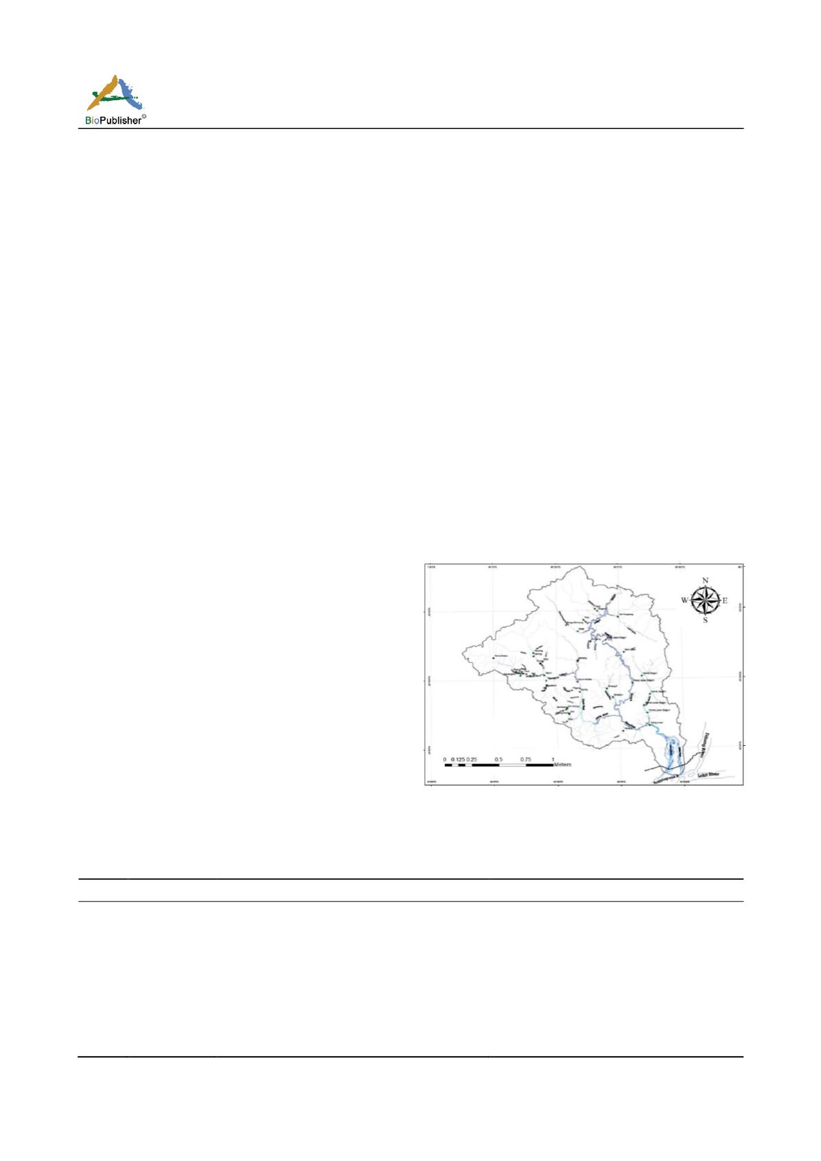
The regional drainage pattern of the area under study
is nearly parallel to sub-parallel, whereas a prominent
annular pattern is observed in the central part of the
are
a (Figure 3).
An attempt is made here to examine
how are drainage networks influenced by underlying
neotectonically active structures (Roy, 1975).
In River
Siang catchment area the major drainage can be
delineated as dendritic, sub-dendritic, sub-parallel, trellis
and rectangular pattern. The drainage of the most of
the part of the river catchment area is collected from
the available topographic maps. Drainage was controlled
by the structure and the lithology of the area.
The drainage networks by large rectangular and trellis
that are orienting the channels along North-East and
East-West directions in the central domain. The
drainage patterns are as follows (Figure 4-6, Table 2):
Ⅰ
. Dendritic Pattern
Ⅱ
. Trellis Pattern
Ⅲ
. Rectangular pattern
Ⅳ
. Sub-Parallel Pattern
The course shifting and braided character of the
alluvial river also gives some anastomosing pattern of
channel. In the eastern side Ranaghat and Pasighat
shows anastomosing pattern. In the eastern side of the
river change its course occupying the other tributaries
Figure 3 Drainage Basin Map of River Siang from the upstream
to downstream of the river
Table 2 Different types of Drainage Pattern of River Siang and their Geological Significance
Sl. No
Type
Description
Geological Significance
1
Dendritic
Irregular branching of streams, Haphazardly,
Resembling Tree
Homogenous materials and crystalline rocks,
Horizontal beds, gentle regional slope
2
Trellis
Main streams running parallel and minor tributaries
joining the main streams nearly at right angles
Dipping or folded sedimentary or low grade
meta-sedimentary rocks, areas of parallel
fractures
3
Rectangular
Streams having right-angled bands
Jointed rocks
e.g.
sand stones, quartzities
etc.
4
Sub-Parallel
Channels running nearly parallel to each other
Steep slopes; also in areas of parallel elongate
landforms


