International Journal of Marine Science 2016, Vol.6, No.26, 1-13
2
gastropod) represent organisms commonly employed as bioindicators, and used as a monitor of baseline
environmental metal concentrations. The use of bivalve or gastropods molluscs looks attractive as these organisms
take up metals from all environmental compartments, either from the aqueous medium or through ingestion from
food and inorganic particulate material and heavily concentrate them (Phillips, 1977; Bayen
et al
., 2004;
Yüzereroglu
et al
., 2010). Moreover, they are appropriate as monitors in situ because they are sedentary or sessile,
available all year long and easy to collect.
The aim of the present work describes the geographical patterns of Cd, Pb, Cu and Zn distributions in the
west-northern Gulf of Suez coastal waters using
Brachidontes variabilis
as quantitative bioindicators and surface
sediments pollution. It includes the investigation of seasonal effects on metal content of the
Brachidontes
variabilis
biomonitors. Pollution indices using this species and sediments were used to compare and assess metal
pollution (Cd, Pb, Cu and Zn) at different stations in the intertidal zones of the west-northern part of the Gulf of
Suez.
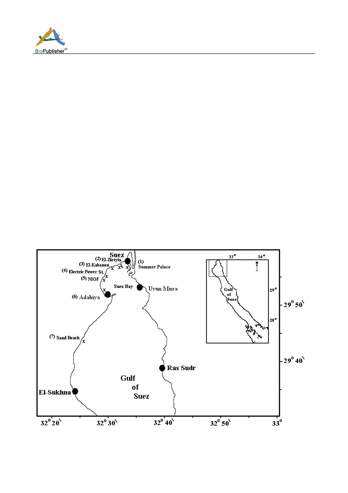
2 The study area
The Gulf of Suez extends for about 250 km from the Suez port to Shadwan Island. The study area extends from
the Suez Bay at the north to about 30 km down the Gulf of Suez (Fig. 1). Suez Bay is located between longitude
32˚ 28` and 32˚ 34` E and latitude 29˚ 54` and 29˚
57`N. It is a shallow extension of the Gulf of Suez, roughly
elliptic in shape with its major axis in the NE- SW direction. The average length along the major axis is about 13
Km, while the average width along the minor axis is about 8.8 Km. The mean depth is about 10 m and the
horizontal surface area is 77.13 Km
2
. The tides range varies between 80 cm at neaps and 140 cm at springs. The
tidal motion is assumed to take place within all the volume of the Suez Bay due to its shallowness (Morcos, 1960;
Meshal, 1970; El-Moselhy and Gabal, 2004).
Fig. (1): Map of the northern part of the Gulf of Suez showing the sampling sites


